© 2021 Maxar Technologies.
©JEOSS, Original Image ©NEC Corporation
SCROLL DOWN
![]()
Empowering the Next-Gen Through Space.
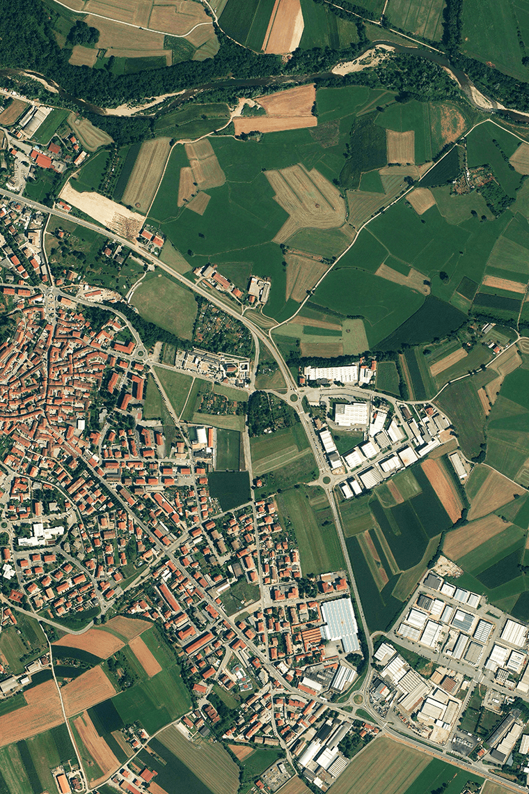
Tellus is The satellite data platform of Japan to envision “Empowering the Next-Gen Through Space.”.
We offer satellite data and more to support your business creation.

-

Find satellite data
-

Use satellite data
-

Create a new business